
Table of Contents
GENERAL INTRODUCTION OF NAGALAND
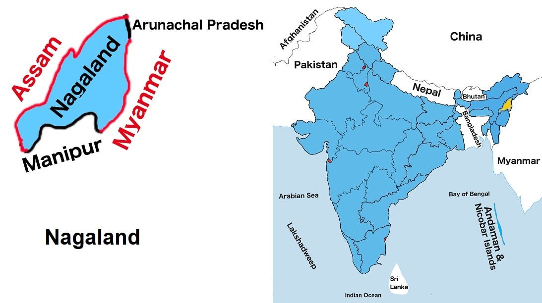
Nagaland is situated in India’s northeastern region. It is one of the twenty-eight states of India. It is the twenty-five largest State by land and the twenty-four most populous states in India. It shares borders with Assam to the west, Manipur to the south and Arunachal Pradesh to the north. It also shares an international border with Myanmar to the east.
The most important economic activity is agriculture in the state, and other economic activities include forestry, tourism, insurance, cottage industries etc. Kohima is the capital of the state. The most spoken language is English, and English is the official language of the state.
Nagalαnd is also known in India as the land of festivals. Nagalαnd is rich in mineral resources such as coal, limestone, iron, nickel, cobalt, chromium and marble. Nagaland is the home state of the hottest chili in the world whose name is Bhut Jolokia or Ghost pepper.
At present, Neiphiu Rio is the Chief Minister of the state.
Nagaland Map
Below the table shown are basic information about Nagaland.
Capital | Kohima |
Governor | R. N. Ravi |
Chief Minister | Neiphiu Rio |
Area | 16,529 sq. km |
Population | 1,980,602 (2011 census) |
Density | 119/sq. km (2011 census) |
Literacy rate | 80.13% (2011 census) |
Official language | English |
No. of districts | 12 |
Legislature | Unicameral |
Assembly seats | 60 |
Lok Sabha seats | 1 |
Rajya Sabha seats | 1 |
Hight Court | High Court of Guwahati Bench Kohima |
High Court location | Kohima |
No. of border shares states | 3 |
Mammal | Mithun |
Bird | Blyth’s tragopan |
Flower | Rhododendron |
Fish | Chocolate mahseer |
Tree | Alder |
State Day |
FOR MORE INFORMATION ABOUT STATIC GK