
Table of Contents
GENERAL INTRODUCTION OF MADHYA PRADESH
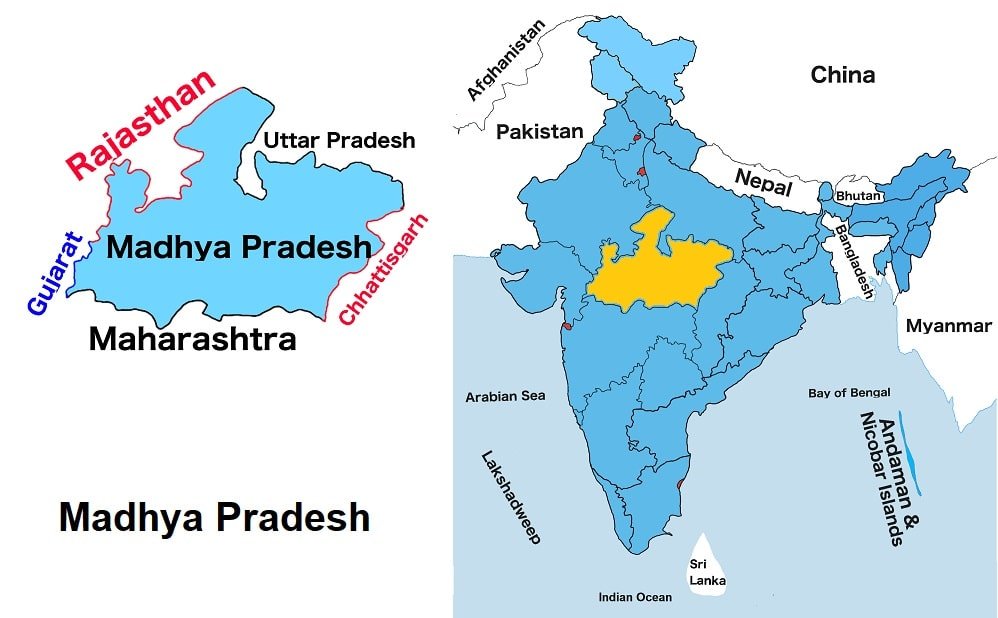
Madhya Pradesh is situated in India’s central region. Madhya Pradesh is one of the twenty-eight states of India. It is the second largest state by land and the fifth most populous state in India. Madhyα Pradesh shares borders with Uttar Pradesh to the northeast, Chhattisgarh to the east and southeast, Maharashtra to the south, Gujarat to the west and Rajasthan to the northwest. Bhopal is the capital of the state.
Madhyα Pradesh was the largest in India by area until 2000. In 2000, its south-eastern part was separated and formed a new state Chhattisgarh. Madhyα Pradesh has the largest reserves of diamond and copper in India. Madhyα Pradesh’s tourism industry is growing, fuelled by wildlife tourism and a number of places of religious and historical significance. At present, Shivraj Singh Chouhan is the Chief Minister of Madhyα Pradesh state.
Madhya Pradesh Map
Below the table shown are basic information about Madhyα Pradesh.
Capital | Bhopal |
Governor | Mangubhai C. Patel |
Chief Minister | Shivraj Singh Chouhan |
Area | 308,245 sq. km |
Population | 72,597,809 (2011 census) |
Density | 236/ sq.km (2011 census) |
Literacy rate | 70.63% (2011 census) |
Official language | Hindi |
No. of districts | 52 |
Legislature | Unicameral |
Assembly seats | 230 |
Lok Sabha seats | 29 |
Rajya Sabha seats | 11 |
Hight Court | Madhya Pradesh High Court |
High Court location | Principal seat: Jabalpur Circuit Benches: Indore & Gwalior |
No. of border shares states | 5 |
Dance | Maanch |
Mammal | Barasingha |
Bird | Indian Paradise Flycatcher |
Flower | Palash |
Fruit | Mango |
Tree | Banyan Tree |
State Day |
FOR MORE INFORMATION ABOUT STATIC GK