
Table of Contents
GENERAL INTRODUCTION OF PUDUCHERRY
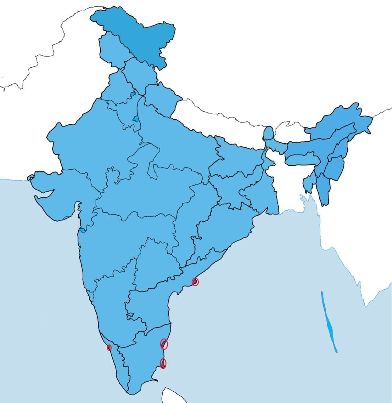
It is situated in India’s southern region. Puducherry is one of the eight Union Territories of India. It is the sixth largest union territory of India by land and the third populous union territory of India by population. The territory of Puducherry comprises Yanam, Pudμcherry, Karaikal, and Mahe. Yanam is situated in the district of East Godavari in Andhra Pradesh. Pudμcherry and Karaikal are situated in the state of Tamil Nadu. Mahe is situated on the Malabar Coast of the Western Ghats and is surrounded by Kerala.
Sir Aurobindo Ashram, Government Museum, Government Square, Botanical Garden, Manakula Vinayagar temple are the main tourist places in this Union territory.
PUDUCHERRY MAP
Below the table shown are basic information about Pudμcherry.
Capital | Pudμcherry |
Lieutenant Governor | Tamilisai Soundararajan |
Chief Minister | N. Rangaswamy |
Area | 492 sq. km |
Population | 1,394,465 (2011 census) |
Density | 2900/ sq. km (2011 census) |
Literacy rate | 86.55% (2011 census) |
Official language | Tamil, French and English |
No. of districts | 4 |
Legislature | Unicameral |
Assembly seats | 33 (30 Elected+3 Nominated) |
Lok Sabha seats | 1 |
Rajya Sabha seats | None |
Hight Court | High Court of Madras |
High Court location | Chennai |
No. of border shares states | 3 |
Mammal | Indian palm squirrel |
Bird | Koel |
Flower | Cannonball tree Flower |
Tree |
FOR MORE INFORMATION ABOUT STATIC GK